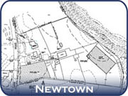
Property Surveys
Property/Boundary and Limited Property/Boundary Surveys require sufficient investigation, study, field measurement and evaluation of factors affecting boundaries, real property interests and other relevant matters with respect to the subject real estate to enable the surveyor to render a professional opinion as to boundary locations and any conflicts therewith.
These surveys require the preparation of a detailed field survey and are intended to present the surveyor's property/boundary opinion. It is recognized that certain factors pertaining to boundary line determination are beyond the surveyor's purview and may require agreements between abutting property owners or action by the courts. Facts surrounding such circumstances shall be noted. (As defined in Section 20-300b-2 of the R.C.S.A.)
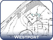
Zoning Location Surveys
A Zoning Location Survey depicts the position of existing or proposed improvements with respect to applicable municipal setback requirements. The purpose of this type of survey is to enable determination of compliance with said requirements. The specific scope of the improvements and matters being addressed by the survey shall be noted. If existing record easements on the subject property may be affected, they shall be depicted. Only those portions of the property, and improvements and features of the property pertinent to the issues being addressed shall be depicted. (As defined in Section 20-300b-2 of the R.C.S.A.)

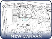
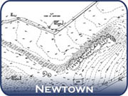
Topography Surveys
A Topographic Survey is a type of survey which depicts the configuration (relief) of the earth's surface (ground) and the location of natural and artificial objects thereon. The Topographic and Vertical Classes of Accuracy, as defined in Section 20-300b-11 of the regulations, shall be noted. Bench marks shall be depicted or noted on all Class T-1, T-2 and T-3 Surveys. Survey datum and contour interval shall be depicted or noted.